Hike on top one of the most iconic features of the Western Divide area! The views of The Needles and Kern Plateau are unparalleled!
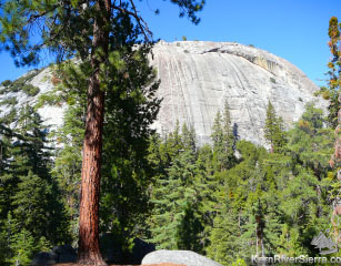
Dome Rock; seen from a trail below. |
THE STATS
|
The Hike Up to Dome Rock
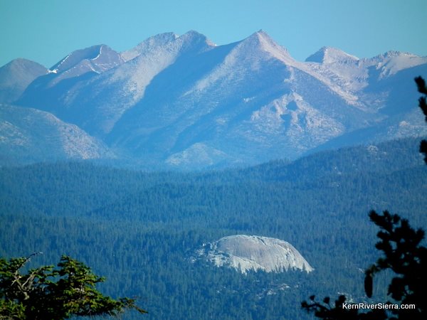 |
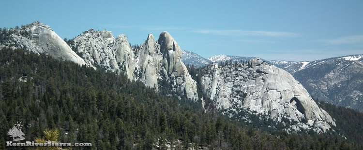
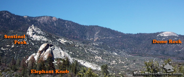
| The Western Divide with Dome Rock. |
If you are on the Western Divide Hwy near the hamlet of Ponderosa, you don't want to miss this Dome Rock! This massive dome of solid granite provides an eagle's eye of the mountainous region of the upper Kern drainage.
It is hard to really call this a hike; it's more of a short stroll to a massive viewpoint on the edge of a cliff.
Dome Rock is situated below Slate Mountain south of both Ponderosa and upper Peppermint Creek. Near the end of the short access road, the trail commences at the closed gate and climbs up to the large flat area on the top of the dome.
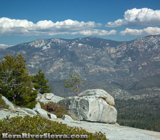
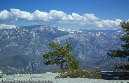
Walk around for various views, ranging from part of Slate Mountain behind, the tops of the Western Divide Mountains near Mineral King, the mountains of the Kern River Valley, the Kern Plateau, The Upper Kern River Drainage in Sequoia National Park, and of course The Needles.
Other Hiking Options
Rock climbing use-trails wrap around Dome Rock to access various climbs.
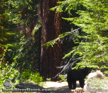 |
| A bear foraging on 21S70 near Dome Creek. |
Dome Rock Connector:
One can connect to Lloyd Meadow Road near Peppermint Creek Falls via a closed road that has become more of a trail. One way, this route is about 6 miles long. Description & photos here.
To take this route, backtrack on the main Dome Rock Road, 21S69, to road 21S70. This road crosses Dome Creek and eventually narrows with brush, where an old road switchbacks down to the left.
While there used to be a maze of active logging roads in the area, there is one primary route that is still used by hikers and mountain bikers. It is partially maintained. The lower section of this route passes by Peppermint Meadows and has nice views of Upper Peppermint Falls and The Needles. The wild flowers can be excellent as well!
The route can be found on the Kern River Sierra Map.
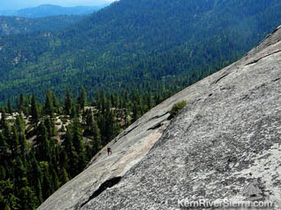
Rock Climber nearing the top. |
 |
| |
Headwaters of the Little Kern River. |
Directions
From Ponderosa on the Western Divide Hwy/107, drive south almost 2 miles. Turn left on road 21S69 and drive .6 miles to the parking area at the end.
From the Kern River Valley, drive up M99/Sierra Way north along the Kern River. Cross the Kern River and continue up past Johnsondale toward Parker Pass on the M50. Turn right on Hwy 107/Western Divide Hwy and drive 11.6 miles to a fairly obscure road 21S69. Turn right and drive .6 miles to the parking area at the end.
From Parker Pass Drive/M50, drive towards Johnsondale. Turn left on Hwy 107/Western Divide Hwy and drive 11.6 miles to a fairly obscure road 21S69. Turn right and drive .6 miles to the parking area at the end.
21S69/Dome Rock Road is slightly south of the USFS Peppermint Work Center.
Nearby Trails & Activities
 |
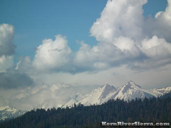
| A look at the general area from Capital Rock above Johnsondale. An offshoot of Slate Mountain above. |
|